
Fun in the Mud

Skunk River Greenbelt Trail
(interactive map)
I found a cool off-road biking/hiking route that's really close by.  At first I was thinking of doing it as part of a bigger loop starting and ending from my home but then I got the opportunity of taking the kids along for a one way trip along the Skink River Greenbelt Trail.  It's a mix of single track and gravel road path that I haven't explored before.

The one thing we found out quite soon is that the path was still on the too muddy side.  While it added a lot of experiences to our trip, I do agree with the sign about not biking along the trail in muddy conditions.  The mud clogged up our bikes pretty badly in the first part.  Front wheel blockage of my daughter's bicycle caused her to fall. After that we had to push (and drag a little) our bikes through the rest of the muddy parts.  Unfortunately my hands were full so I didn't get much chance to capture that with the camera.

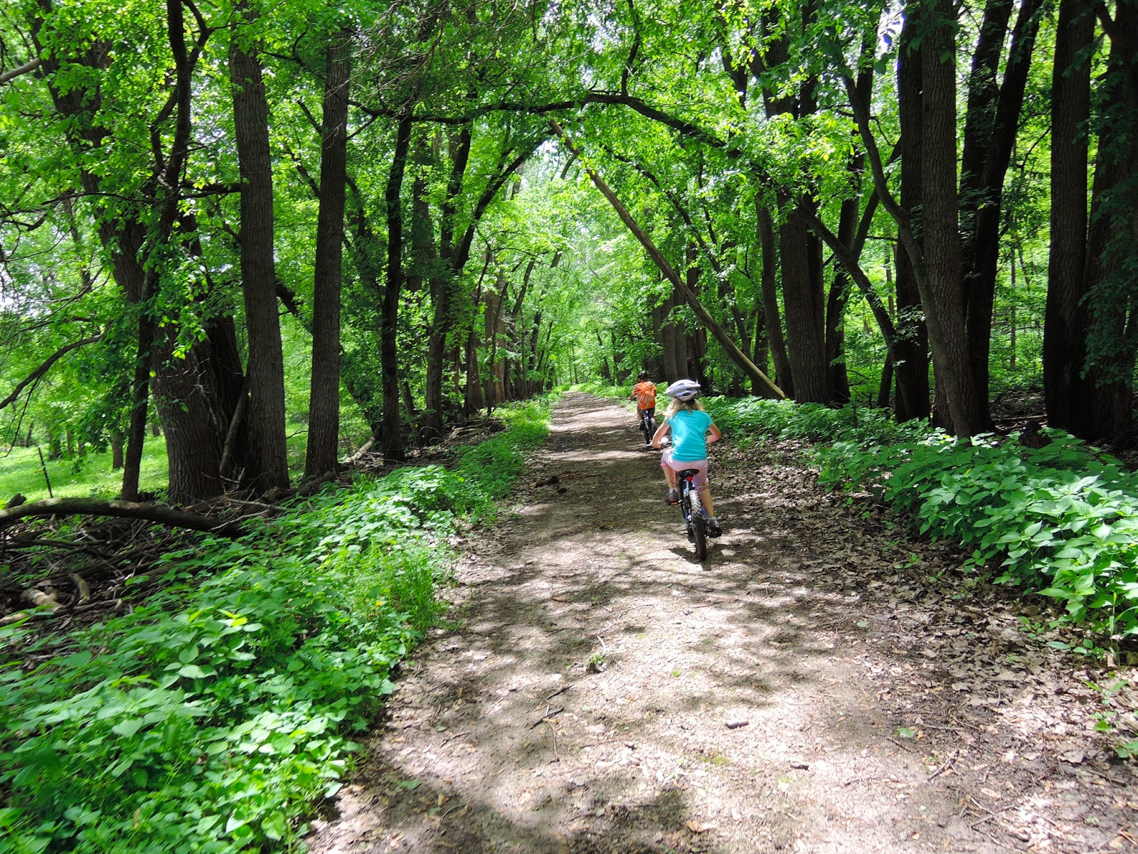
Later on the path got more solid and the riding got better.  Although my daughter isn't a fan of single track riding, especially because of the hills.  Maybe with more and better experience she's getting a bit more excited to do so.  Keeping in mind it's her first time.

The gravel road was also a welcome change as there wasn't much traffic, no washboard, and all together easy to ride.  A few highlights of the trip were the suspension bridge hidden in the forest, a tree trunk crossing that was home to a toad, and the river crossing.

I'm looking forward to another ride on the trail when it's not as muddy and hopefully still without mosquitoes.

PDF map of the Skunk River Greenbelt Trail: https://www.storycountyiowa.gov/DocumentCenter/View/2418

Trail head

Muddy forest path

This is Iowa, too

Riding into the meadow

Are we lost yet

No time to pose for a photo

Mud taking its toll on us and the bikes

One of a few logs across the path

Daughter and dad

4th Try Bridge, what a weird name for a bridge

Mud blockage

Nice non-muddy path

Zooming on the gravel road

Hydration time

Rare photo of the boy

Found a hidden suspension bridge

and had to enjoy it a bit

Riding along Skunk River

Play time - river crossing break

Another hill

Path north of McFarland Park along the interstate

Comments

Popular posts from this blog

Oregon Coast Ride: Surfing USA

Today I rode by myself again.  In the morning I passed a surf shop that wasn't open but had a photo-op place outside by the road. Today's ride was pretty nice as the road goes close to the ocean.  I set a pleasurable pace and stopped here and there.  I once went out on a sandy beach, wanting to push the bike along the beach for a while but I just got the bike sandy.  The tide was coming in and the beach wouldn't have been great to go a distance along it.  So it was back to the road again. Brompton out on the surf. Siletz Bay. The Pacific coast. Self portrait. I'm not sure if Depoe Bay does really have the smallest harbor, it still looked kind of big to me, but it has an impressive narrow entrance through rock walls over which the 101 bridge spans. If the sign says so it must be true. The Otter Crest Loop south of Depoe Bay was the best stretch to ride.  It runs parallel to 101 and due to it's narrowness is primarily a one-way str...

Lake Georgetown, Texas

I really need to stop being lazy and write the report of our hike from April around Lake Georgetown.  A co-worker and I took a few days after a work meeting in Austin, Texas to hike around the nearby Lake Georgetown.  I didn't really know what to expect about the hike.  It did get selected because it's the only hike that's long enough multiple days.  Most parts of Texas appear not to have much in way of public land. Taking hiking gear along an airplane flight is actually not to bad, especially since you don't want to take to much along anyway as you'll have carry it otherwise.  The only annoying thing is that the cooking fuel needs to be purchased after arrival.  Which in my case is IsoPro and I never use a full can of it either. The hiking trail around Lake Georgetown impressed me quite a bit.  I was expecting it to turn boring any moment but instead it proved to be interesting landscape that varied from area to area. Wanderroute 888394 We sta...

Standing Indian Loop Hike

Happy to share this trip. Leaving the kids with the grandparents we get to hike several days in  the Nantahala National Forrest.  Our route is a 30 mile loop with a significant amount on the Appalachian trail.  We arrived late afternoon at the Standing Indian Campground (backcountry trail head to be exact).  My wife got to experience the drill of picking up the rental car from the airport and swinging by REI to get the camping fuel for the hike.  For some strange reason though we ended up spending more time and money there end ended up with a few gear enhancement including trekking poles for me. Interactive route map. Packed and ready for the hike. Initially our plan was to hike to the newly constructed Long Branch shelter but it was getting late and we found a pretty meadow on the Long Branch creek that was perfect for camping.  After we got the tent setup a strong rain passed over us.  So we were lucky to duck into the tent and stay...