... happened on my ride through Story County Iowa to visit all 15 incorporated towns in one day. It was near the end of the day when I was riding down the highway. All the sudden right in front of me crossed a skunk the street. As it went across the street I was passing him. I was scared as hell as it's tail went higher and higher. Its pink butt was clearly visible. Luckily the skunk was kind and didn't release anything. Phew!
The ride itself went great. On the southern part I took the Heart of Iowa trail. It's a beautiful limestone trail. The only downside was that due to the extreme rain and flooding we got a few weeks ago sections of the trail was washed out. This meant it was rough and sandy riding. Passable with the fat two inch tires on my bike but still slow and strenuous. But it was worth it. Throughout my ride I could see and smell the remnants of the flooding across the county.
For the 110 miles I was 13 hours on the road, which included all photo and twitter breaks as well as lunch and dinner. The detailed route can be viewed at http://ridewithgps.com/trips/1380807.
Now I let the photos tell the story of the ride:
 |
| Collage of Story County towns |
The ride itself went great. On the southern part I took the Heart of Iowa trail. It's a beautiful limestone trail. The only downside was that due to the extreme rain and flooding we got a few weeks ago sections of the trail was washed out. This meant it was rough and sandy riding. Passable with the fat two inch tires on my bike but still slow and strenuous. But it was worth it. Throughout my ride I could see and smell the remnants of the flooding across the county.
For the 110 miles I was 13 hours on the road, which included all photo and twitter breaks as well as lunch and dinner. The detailed route can be viewed at http://ridewithgps.com/trips/1380807.
Now I let the photos tell the story of the ride:
 |
| Kelley |
 |
| Phone booth in Kelley |
 |
| Slater |
 |
| Sheldahl |
 |
| Heart of Iowa trail between Slater and Huxley |
 |
| Huxley |
 |
| Heart of Iowa trail just east of Huxley |
 |
| Cambridge |
 |
| Train under Hear of Iowa trail just east of Cambridge |
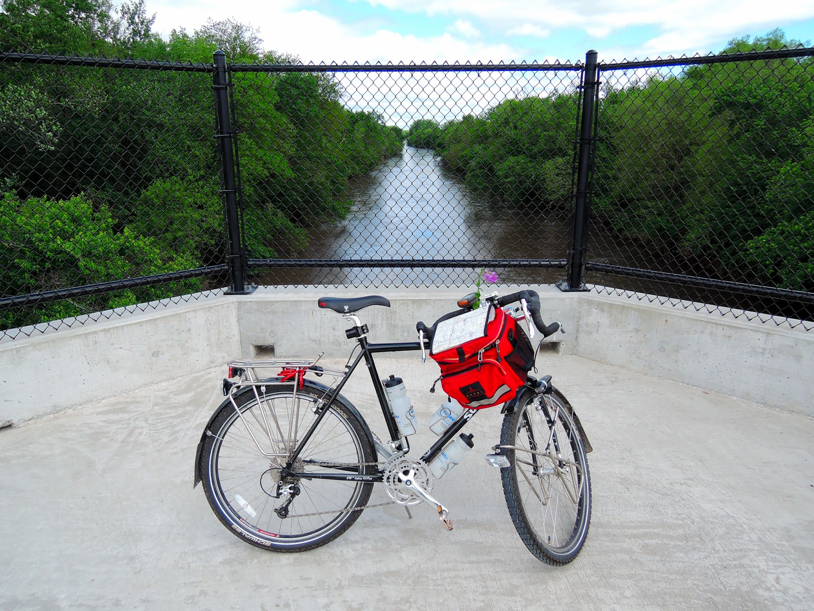 |
| Skunk river bridge on Heart of Iowa trail |
 |
| Maxwell |
 |
| Bells in Maxwell |
 |
| Collins |
 |
| Colo |
 |
| Old Lincoln Highway gas station in Colo |
 |
| Diner in Colo |
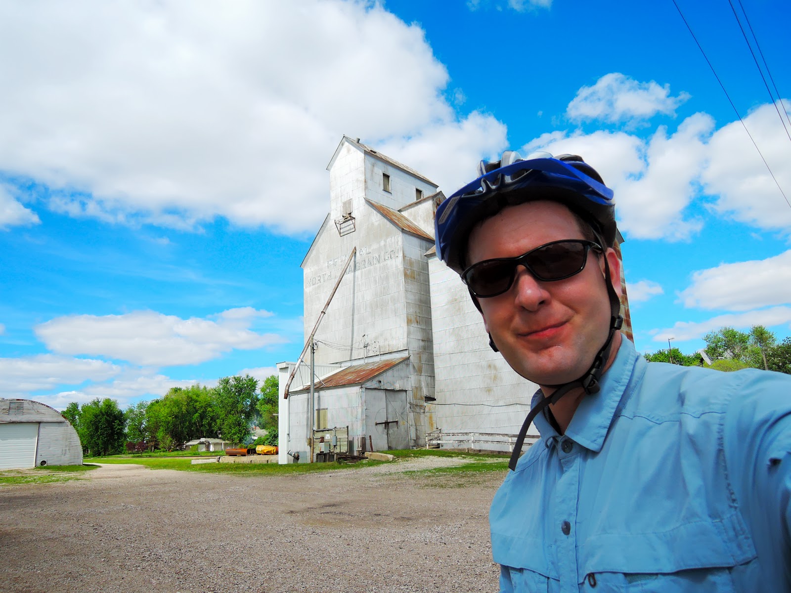
 |
| Nevada |
 |
| Bonus town Fernald, not incorporated and didn't count |
 |
| Alternative energy - blessing and curse |
 |
| Zearing |
 |
| McCallsburg |
 |
| Roland |
 |
| Story City |
 |
| Gilbert |
 |
| Ames |
Comments